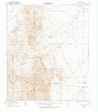
1918 Map of Walnut Wells
USGS Topo · Published 1923About this map
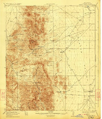
Animas Mountains dominate this survey of the New Mexico borderlands, dividing the high desert of the Animas Valley from the Playas Valley. The settlement pattern reflects a rugged ranching economy established around vital water sources, as seen at Walnut Wells and Old Walnut Wells on the eastern plains. Numerous family-named homesteads and livestock operations are mapped across the terrain, including Godfrey Ranch, O K Bar Ranch, and Lawhorns Ranch.
Find a feature on this map
53 named features on this map. Tap any name to fly to it.
Don’t see what you’re looking for? This feature index may not catch every label — zoom into the map to look around manually.
Map Details
Editions of this 1918 Walnut Wells Map
3 editions found
Other maps of this area

1917 · Antelope Wells
USGS Topo · 1:62,500

1918 · Big Hatchet Peak
USGS Topo · 1:62,500

1918 · Hachita
USGS Topo · 1:62,500

1918 · Dog Mountains
USGS Topo · 1:62,500

1918 · Walnut Wells
USGS Topo · 1:62,500

1918 · Cienega Springs
USGS Topo · 1:62,500

1918 · Playas
USGS Topo · 1:62,500

1918 · Animas Peak
USGS Topo · 1:62,500

1918 · Pratt
USGS Topo · 1:62,500

1919 · Pratt
USGS Topo · 1:62,500