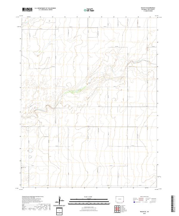
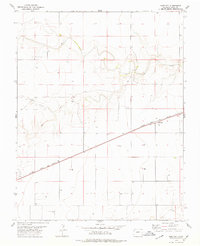
2022 Map of Walsh SE
USGS Topo · Published 2022About this map
Boston Cem stands in the southwestern corner of this landscape, a quiet testament to the early settlers of Baca County. The terrain is defined by the winding course of Sand Arroyo Creek (also labeled Sand Arroyo Cr), which snakes through the central and eastern portions of the township. This ephemeral watercourse, along with Dry Cr in the northwest, has historically dictated the placement of roads and homesteads in this arid region. The map reveals a rigid grid of county roads, such as Co RD 41 and Co RD BB, which cross the high plains and partition the land into the Public Land Survey System sections of t31s r44w, t31s r43w, t32s r44w, and t32s r43w. The distribution of these roads indicates a landscape managed for large-scale agricultural use, where life is organized around the intersection of section lines and seasonal drainage channels.
Find a feature on this map
31 named features on this map. Tap any name to fly to it.
Don’t see what you’re looking for? This feature index may not catch every label — zoom into the map to look around manually.
Map Details
Editions of this 2022 Walsh SE Map
This is the sole edition of this map. No revisions or reprints were ever made.
Other maps of this area

1892 · Vilas
USGS Topo · 1:125,000

1955 · La Junta
USGS Topo · 1:250,000

1958 · La Junta
USGS Topo · 1:250,000

1968 · La Junta
USGS Topo · 1:250,000

1978 · Walsh SE
USGS Topo · 1:24,000
1978 · Midway
USGS Topo · 1:24,000
1978 · Walsh
USGS Topo · 1:24,000

1978 · Moore Draw NE
USGS Topo · 1:24,000
1978 · Vilas North
USGS Topo · 1:24,000
1978 · Bartlett
USGS Topo · 1:24,000