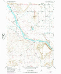
1957 Map of Walters Butte
USGS Topo · Published 1985About this map
Snake River dominates this mid-century landscape, carving a deep valley through the high desert of Owyhee County. The historical Walters Ferry (Site) marks an important crossing point on the river's north bank, while the heights of Walters Butte and Guffey Butte provide dramatic vertical relief against the surrounding flats. The area reveals a complex irrigation network vital to the local economy, including the Boise Lateral and Waldvogel Lateral, which channel water to agricultural fields near Melba and the small siding of Stoddard. Evidence of earlier transport infrastructure is visible in the Old Railroad Grade that skirts the eastern bluffs. To the south, the terrain breaks into the drainage systems of Rabbit Creek and Con Shea Basin, illustrating the transition from managed farmland to the more primitive, uncultivated desert breaks and basins typical of this region.
Find a feature on this map
59 named features on this map. Tap any name to fly to it.
Don’t see what you’re looking for? This feature index may not catch every label — zoom into the map to look around manually.
Map Details
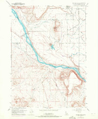
Editions of this 1957 Walters Butte Map
3 editions found
Other maps of this area

1892 · Bisuka
USGS Topo · 1:125,000

1892 · Silver City
USGS Topo · 1:125,000

1894 · Bisuka
USGS Topo · 1:125,000

1894 · Silver City
USGS Topo · 1:125,000

1898 · Silver City
USGS Topo · 1:125,000

1948 · Sinker Butte
USGS Topo · 1:24,000

1949 · Sinker Butte
USGS Topo · 1:24,000

1949 · Oreana
USGS Topo · 1:62,500

1955 · Boise
USGS Topo · 1:250,000
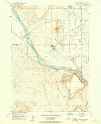
1957 · Walters Butte
USGS Topo · 1:24,000