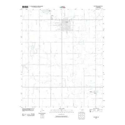
2010 Map of Walters
USGS Topo · Published 2010About this map
Walters serves as the focal point of this Cotton County landscape, positioned within a grid of county roads and distinctive regional waterways. The town's layout is defined by thoroughfares such as W Colorado Ave and Virginia Ave, while the Walters Cemetery sits on the northern periphery near the Walters Dam. This survey documents a prairie environment characterized by the meandering paths of East Cache Creek and Soldier Creek, which dominate the eastern and western portions of the quadrangle. Significant water management is evident through the presence of the Tempe Lake Dam and Oknoname 033001 Dam in the southeast. The map illustrates the structured rural development of the early 21st century, where long-established section lines like Co Rd E1860 and the Indian Hwy facilitate movement through the agricultural terrain surrounding the settlement.
Find a feature on this map
26 named features on this map. Tap any name to fly to it.
Don’t see what you’re looking for? This feature index may not catch every label — zoom into the map to look around manually.
Map Details
Editions of this 2010 Walters Map
This is the sole edition of this map. No revisions or reprints were ever made.
Other maps of this area

1955 · Lawton
USGS Topo · 1:250,000

1957 · Hastings
USGS Topo · 1:62,500

1957 · Randlett
USGS Topo · 1:62,500

1962 · Walters
USGS Topo · 1:62,500

1962 · Temple
USGS Topo · 1:62,500

1984 · Hooper
USGS Topo · 1:24,000
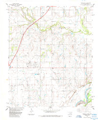
1985 · Randlett
USGS Topo · 1:24,000
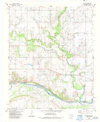
1985 · Taylor
USGS Topo · 1:24,000

1985 · Burkburnett
USGS Topo · 1:100,000
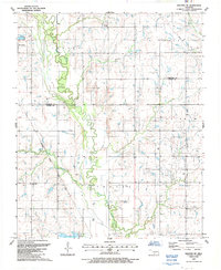
1987 · Walters NE
USGS Topo · 1:24,000