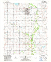
1987 Map of Walters
USGS Topo · Published 1988About this map
Walters serves as the focal point of this Cotton County survey, illustrating the organized grid of the town site alongside the winding path of East Cache Creek. The landscape is heavily marked by the region's petroleum industry, with numerous Oil Wells and a significant Oil Field north of the main settlement. Civil infrastructure of the late 1980s is well-documented, including the Sewage Disposal Ponds and a Substation near the town center. Local recreation and water management are anchored by Dave Boyer Lake and Temple Lake, while the rural character of the outlying areas is preserved through landmarks like Brown Ch and several Gravel Pits scattered near the creek's floodplain. The inclusion of a Gaging Sta along the creek and a prominent Levee suggests a careful monitoring of the local watershed in this prairie environment.
Find a feature on this map
22 named features on this map. Tap any name to fly to it.
Don’t see what you’re looking for? This feature index may not catch every label — zoom into the map to look around manually.
Map Details
Editions of this 1987 Walters Map
This is the sole edition of this map. No revisions or reprints were ever made.
Other maps of this area

1955 · Lawton
USGS Topo · 1:250,000

1957 · Hastings
USGS Topo · 1:62,500

1957 · Randlett
USGS Topo · 1:62,500

1962 · Walters
USGS Topo · 1:62,500

1962 · Temple
USGS Topo · 1:62,500

1984 · Hooper
USGS Topo · 1:24,000
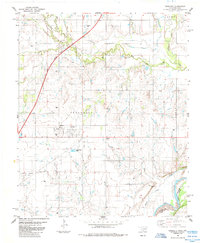
1985 · Randlett
USGS Topo · 1:24,000
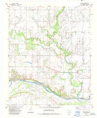
1985 · Taylor
USGS Topo · 1:24,000

1985 · Burkburnett
USGS Topo · 1:100,000
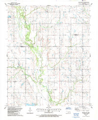
1987 · Walters NE
USGS Topo · 1:24,000