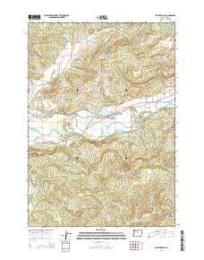
2014 Map of Walterville
USGS Topo · Published 2014About this map
The McKenzie River corridor serves as the central artery for this portion of Lane County, defining the development of Walterville and Cedar Flat. A sophisticated network of water management is visible through the Walterville Canal and Walterville Reservoir, infrastructure that diverts water from the main river channel to support local industry and power. The Walterville Bridge provides a vital crossing point, connecting the southern hillsides near Wallace Cr and Starks Cr to the more developed northern bank.
Find a feature on this map
75 named features on this map. Tap any name to fly to it.
Don’t see what you’re looking for? This feature index may not catch every label — zoom into the map to look around manually.
Map Details
Editions of this 2014 Walterville Map
This is the sole edition of this map. No revisions or reprints were ever made.
Other maps of this area

1935 · Lowell
USGS Topo · 1:96,000

1942 · Lowell
USGS Topo · 1:125,000

1950 · Marcola
USGS Topo · 1:62,500

1951 · Leaburg
USGS Topo · 1:62,500

1952 · Marcola
USGS Topo · 1:62,500

1953 · Salem
USGS Topo · 1:250,000

1954 · Salem
USGS Topo · 1:250,000

1955 · Hardesty Mtn
USGS Topo · 1:62,500

1955 · Lowell
USGS Topo · 1:62,500

1958 · Roseburg
USGS Topo · 1:250,000