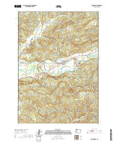
2020 Map of Walterville
USGS Topo · Published 2020About this map
The McKenzie River corridor in Lane County defines this landscape, where the engineering of the Walterville Canal and Walterville Reservoir shapes the valley's water management. The settlement of Walterville sits at a critical junction near the Walterville Bridge, serving as a focal point for the surrounding rural tracts and timberlands. Further west, the community of Cedar Flat occupies the level ground near the confluence of Cedar Creek and the main river.
Find a feature on this map
77 named features on this map. Tap any name to fly to it.
Don’t see what you’re looking for? This feature index may not catch every label — zoom into the map to look around manually.
Map Details
Editions of this 2020 Walterville Map
This is the sole edition of this map. No revisions or reprints were ever made.
Other maps of this area
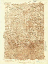
1935 · Lowell
USGS Topo · 1:96,000
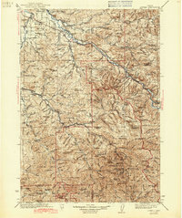
1942 · Lowell
USGS Topo · 1:125,000
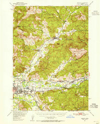
1950 · Marcola
USGS Topo · 1:62,500
1951 · Leaburg
USGS Topo · 1:62,500
1952 · Marcola
USGS Topo · 1:62,500

1953 · Salem
USGS Topo · 1:250,000
1954 · Salem
USGS Topo · 1:250,000
1955 · Hardesty Mtn
USGS Topo · 1:62,500
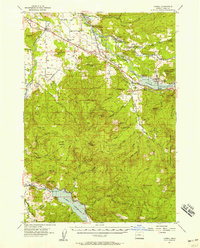
1955 · Lowell
USGS Topo · 1:62,500
1958 · Roseburg
USGS Topo · 1:250,000