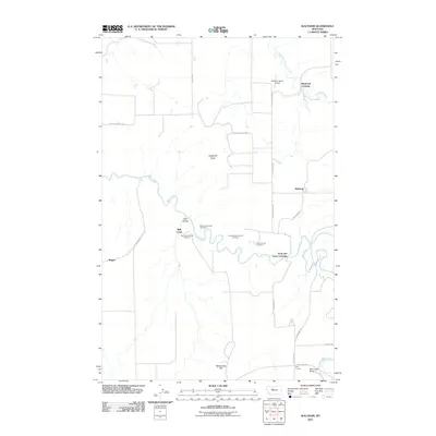
2011 Map of Waltham
USGS Topo · Published 2011About this map
Belt Creek carves a winding path through this central Montana landscape, defining the local geography alongside the prominent elevations of Shepherd Butte and Rattlesnake Hill. The area's transportation history is etched into the terrain by a sequence of named tunnels that follow the creek's course, including Lacey Tunnel Number 3, Amphitheater Tunnel Number 4, and Red Coulee Tunnel Number 6. These engineering features point to the historical importance of the rail corridor in moving people and goods through the rugged coulees.
Find a feature on this map
27 named features on this map. Tap any name to fly to it.
Don’t see what you’re looking for? This feature index may not catch every label — zoom into the map to look around manually.
Map Details
Editions of this 2011 Waltham Map
This is the sole edition of this map. No revisions or reprints were ever made.
Other maps of this area

1886 · Great Falls
USGS Topo · 1:250,000

1890 · Fort Benton
USGS Topo · 1:250,000

1892 · Fort Benton
USGS Topo · 1:250,000

1897 · Fort Benton
USGS Topo · 1:250,000

1948 · Portage
USGS Topo · 1:62,500

1949 · Portage
USGS Topo · 1:62,500

1954 · Great Falls
USGS Topo · 1:250,000

1954 · Rice Reservoir
USGS Topo · 1:24,000

1954 · Lander Crossing
USGS Topo · 1:24,000

1954 · Waltham
USGS Topo · 1:24,000