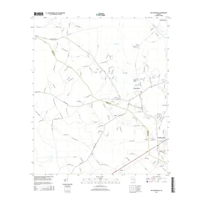
2014 Map of Walthourville
USGS Topo · Published 2014About this map
The boundary between Liberty Co and Long Co cuts through this landscape, which is defined by its small settlements and extensive wetlands. At the southern edge, Walthourville serves as a primary hub, while smaller communities like Elim and Gum Branch are scattered across a network of roads such as Ga-196 and Wells Rd. Significant portions of the northeast corner are occupied by Fort Stewart, illustrating the military presence that has shaped the regional geography.
Find a feature on this map
144 named features on this map. Tap any name to fly to it.
Don’t see what you’re looking for? This feature index may not catch every label — zoom into the map to look around manually.
Map Details
Editions of this 2014 Walthourville Map
This is the sole edition of this map. No revisions or reprints were ever made.
Other maps of this area

1918 · Jesup
USGS Topo · 1:62,500

1918 · Hinesville
USGS Topo · 1:62,500

1920 · Glennville
USGS Topo · 1:62,500

1943 · Ludowici
USGS Topo · 1:62,500

1943 · Jesup
USGS Topo · 1:62,500

1944 · Glennville
USGS Topo · 1:62,500

1944 · Hinesville
USGS Topo · 1:62,500

1946 · Brunswick
USGS Topo · 1:250,000

1948 · Brunswick
USGS Topo · 1:250,000

1950 · Glennville
USGS Topo · 1:62,500