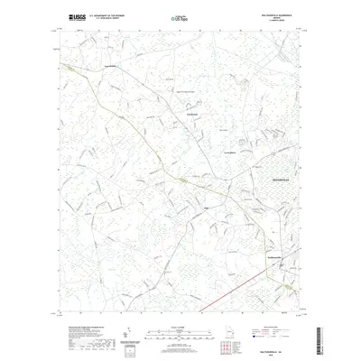
2020 Map of Walthourville
USGS Topo · Published 2020About this map
The boundary between Liberty Co and Long Co divides a landscape defined by expansive wetlands and established rural communities. Near the center of the sheet, the town of Gumbranch and the settlement of Elim anchor a network of local roads that navigate the low-lying terrain of the Coastal Plain. To the east, the edge of Hinesville signifies more modern residential growth, while Walthourville sits to the south.
Find a feature on this map
146 named features on this map. Tap any name to fly to it.
Don’t see what you’re looking for? This feature index may not catch every label — zoom into the map to look around manually.
Map Details
Editions of this 2020 Walthourville Map
This is the sole edition of this map. No revisions or reprints were ever made.
Other maps of this area

1918 · Jesup
USGS Topo · 1:62,500

1918 · Hinesville
USGS Topo · 1:62,500

1920 · Glennville
USGS Topo · 1:62,500

1943 · Ludowici
USGS Topo · 1:62,500

1943 · Jesup
USGS Topo · 1:62,500

1944 · Glennville
USGS Topo · 1:62,500

1944 · Hinesville
USGS Topo · 1:62,500

1946 · Brunswick
USGS Topo · 1:250,000

1948 · Brunswick
USGS Topo · 1:250,000

1950 · Glennville
USGS Topo · 1:62,500