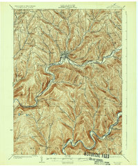
1925 Map of Walton
USGS Topo · Published 1934About this map
The Delaware River carves a deep valley through the center of this Delaware County survey, dictating the course of industry and travel in the early 1920s. Along its banks, the New York Ontario and Western RR connects riverfront settlements like Beerston, Rock Rift, and the commercial hub of Walton. This rail corridor was essential for the region's rural economy, providing a lifeline for remote mountain communities.
Find a feature on this map
76 named features on this map. Tap any name to fly to it.
Don’t see what you’re looking for? This feature index may not catch every label — zoom into the map to look around manually.
Map Details
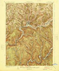
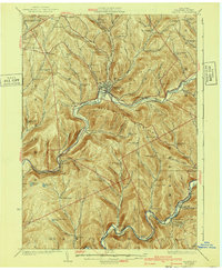
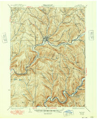
Editions of this 1925 Walton Map
5 editions found

Other maps of this area

1909 · Delhi
USGS Topo · 1:62,500

1911 · Delhi
USGS Topo · 1:62,500

1915 · Oneonta
USGS Topo · 1:62,500

1915 · Unadilla
USGS Topo · 1:62,500

1918 · Unadilla
USGS Topo · 1:62,500

1918 · Oneonta
USGS Topo · 1:62,500

1920 · Long Eddy
USGS Topo · 1:62,500

1921 · Long Eddy
USGS Topo · 1:48,000

1921 · Livingston Manor
USGS Topo · 1:62,500

1922 · Andes
USGS Topo · 1:62,500