
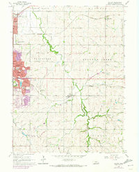
1964 Map of Walton
USGS Topo · Published 1966About this map
The eastern edges of Lincoln and the surrounding agricultural townships of Stevens Creek and Stockton are captured in this mid-1960s survey. The map details the suburban expansion of the capital city into the neighborhood of Bethany, characterized by its residential street names like Sycamore Dr and proximity to the VA Hospital. Large institutional sites dominate the western margin, including the University of Nebraska Experimental Farm and several neighborhood schools such as Norwood Park Sch.
Find a feature on this map
61 named features on this map. Tap any name to fly to it.
Don’t see what you’re looking for? This feature index may not catch every label — zoom into the map to look around manually.
Map Details
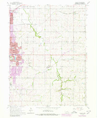
Editions of this 1964 Walton Map
3 editions found
Other maps of this area

1897 · Lincoln
USGS Topo · 1:125,000

1903 · Weeping Water
USGS Topo · 1:125,000

1929 · Weeping Water
USGS Topo · 1:125,000

1955 · Lincoln
USGS Topo · 1:250,000

1957 · Lincoln
USGS Topo · 1:250,000

1958 · Lincoln
USGS Topo · 1:250,000

1964 · Waverly
USGS Topo · 1:24,000

1964 · Roca
USGS Topo · 1:24,000

1964 · Davey
USGS Topo · 1:24,000
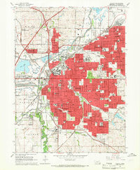
1964 · Lincoln
USGS Topo · 1:24,000