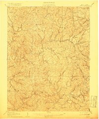
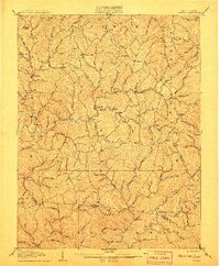
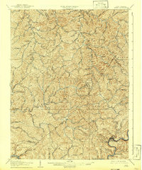
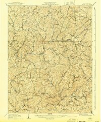
1907 Map of Walton
USGS Topo · Published 1918About this map
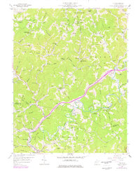
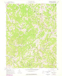
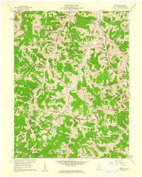
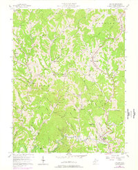
Walton and the surrounding Roane County highlands are defined by a complex network of narrow valleys and ridges at the dawn of the twentieth century. The settlement pattern reflects an economy built on local milling and small crossroads communities, with Shamblings Mills, Jones Mill, and Osbornes Mills situated along critical watercourses like the Pocatalico River and Big Sandy Creek. These waterways, along with their numerous forks such as Lefthand Run and Pad Fork, served as the primary conduits for travel and commerce through the steep terrain.
Find a feature on this map
65 named features on this map. Tap any name to fly to it.
Don’t see what you’re looking for? This feature index may not catch every label — zoom into the map to look around manually.
Map Details
Editions of this 1907 Walton Map
3 editions found
Historical Maps of Speed Through Time
18 maps found

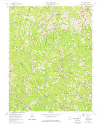
1906 Otter
Roane County, WV

1906 Walton
Roane County, WV
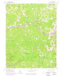
1907 Otter
Roane County, WV
1907 Walton
Roane County, WV
1957 Clio
Roane County, WV
1957 Looneyville
Roane County, WV
1957 Peniel
Roane County, WV
1957 Walton
Roane County, WV
1958 Kettle
Roane County, WV
1966 Newton
Roane County, WV

1966 Tariff
Roane County, WV
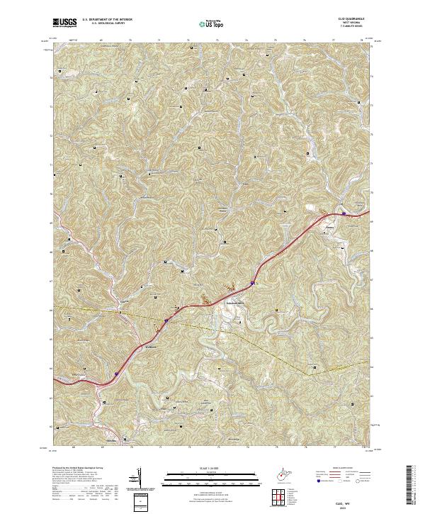
2023 Clio
Roane County, WV
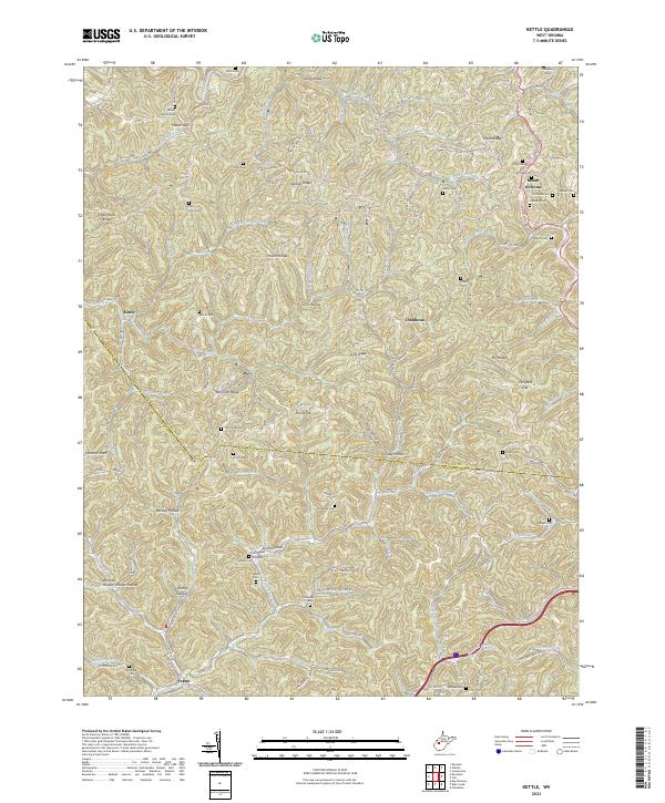
2023 Kettle
Roane County, WV
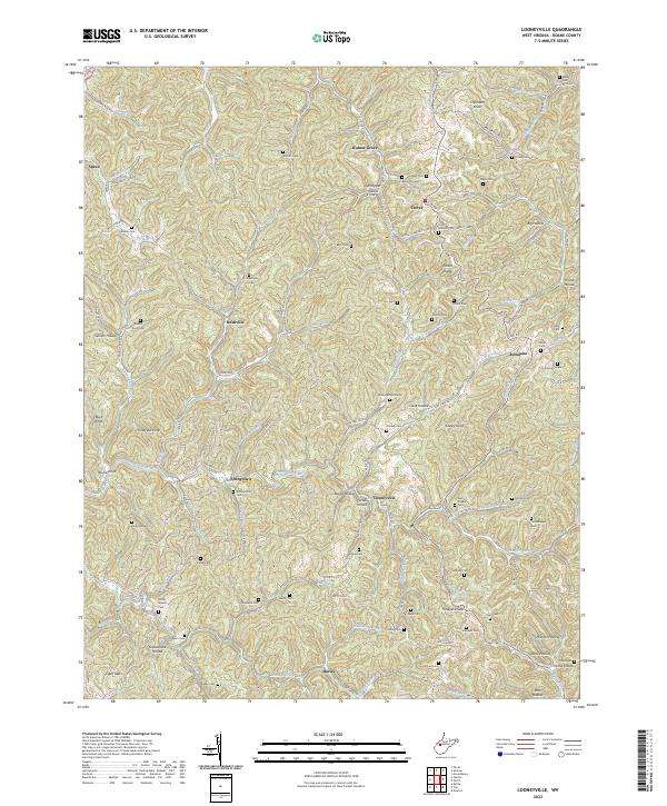
2023 Looneyville
Roane County, WV

2023 Newton
Roane County, WV
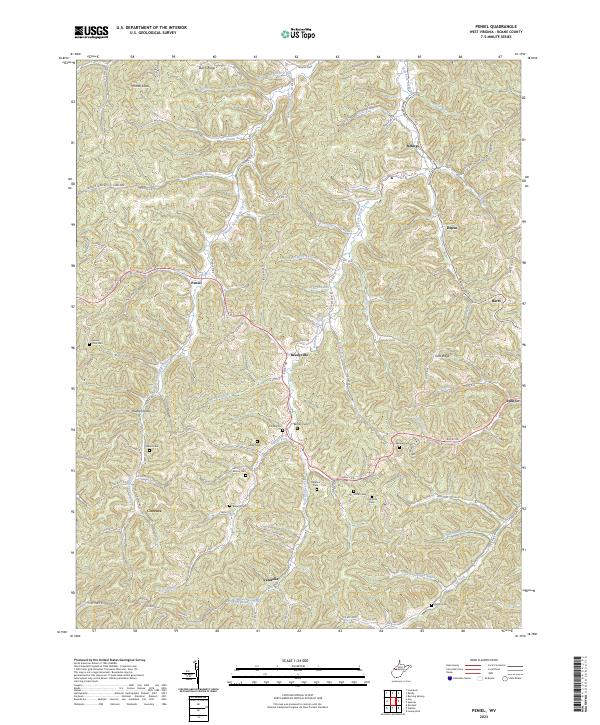
2023 Peniel
Roane County, WV
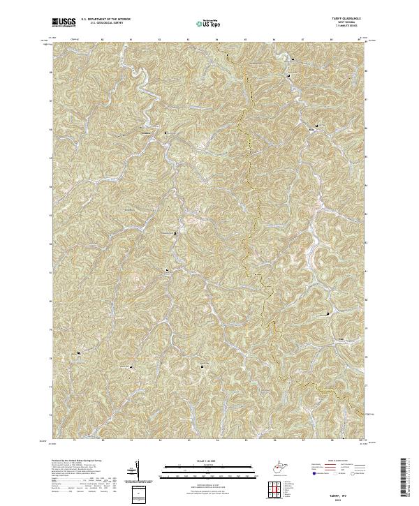
2023 Tariff
Roane County, WV
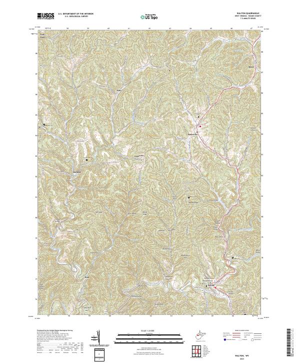
2023 Walton
Roane County, WV