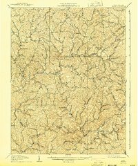
1907 Map of Walton
USGS Topo · Published 1943About this map
Osbornes Mills and Shamblings Mills anchor the small, scattered communities throughout this portion of Roane and Kanawha counties in the early twentieth century. The Pocatalico River provides the primary drainage through a landscape of tight ridges and narrow stream valleys, where local life centered around small crossroads like Walton and Gandeeville. The survey captures the density of named rural locations such as Looneyville, Roxalana, and Rushville during an era before modern highway expansion bypassed these interior hollows.
Find a feature on this map
76 named features on this map. Tap any name to fly to it.
Don’t see what you’re looking for? This feature index may not catch every label — zoom into the map to look around manually.
Map Details
Editions of this 1907 Walton Map
3 editions found

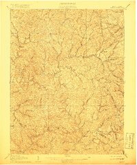
Other maps of this area

1897 · Kanawha Falls
USGS Topo · 1:125,000

1899 · Charleston
USGS Topo · 1:125,000

1900 · Kanawha Falls
USGS Topo · 1:125,000

1901 · Kanawha Falls
USGS Topo · 1:125,000

1906 · Kenna
USGS Topo · 1:62,500

1906 · Otter
USGS Topo · 1:62,500

1906 · Walton
USGS Topo · 1:62,500

1907 · Kenna
USGS Topo · 1:62,500

1907 · Otter
USGS Topo · 1:62,500

1907 · Arnoldsburg
USGS Topo · 1:62,500