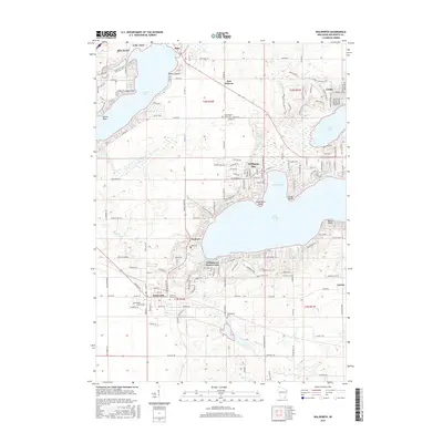
2016 Map of Walworth
USGS Topo · Published 2016About this map
Delavan Lake and Lake Geneva anchor this southern Wisconsin landscape, where the resort communities of the early 21st century meet a deep-rooted agricultural and civic history. The shoreline of Williams Bay and the village of Fontana-on-Geneva Lake show a dense network of residential streets and private developments such as The Lindens, illustrating the region's enduring appeal as a lakeside destination.
Find a feature on this map
162 named features on this map. Tap any name to fly to it.
Don’t see what you’re looking for? This feature index may not catch every label — zoom into the map to look around manually.
Map Details
Editions of this 2016 Walworth Map
This is the sole edition of this map. No revisions or reprints were ever made.
Other maps of this area

1893 · Delavan
USGS Topo · 1:62,500

1893 · Geneva
USGS Topo · 1:62,500

1904 · Lake Geneva
USGS Topo · 1:62,500

1906 · Lake Geneva
USGS Topo · 1:62,500

1926 · Mc Henry
USGS Topo · 1:62,500

1932 · Harvard
USGS Topo · 1:48,000

1937 · Harvard
USGS Topo · 1:62,500

1944 · McHenry
USGS Topo · 1:62,500

1954 · Rockford
USGS Topo · 1:250,000

1955 · Rockford
USGS Topo · 1:250,000