2022 Map of Walworth
USGS Topo · Published 2022About this map
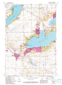
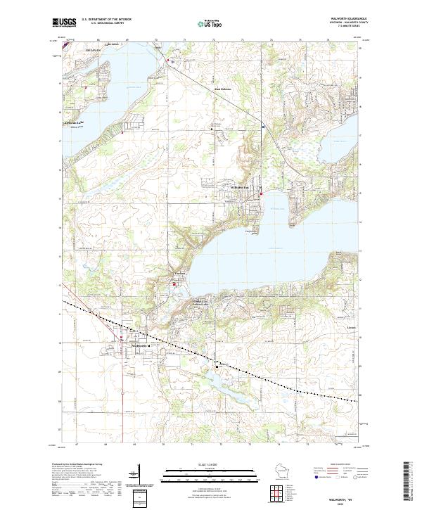
The glacial waters of Lake Geneva and Delavan Lake dominate this landscape in Walworth County, serving as the focal points for longstanding recreational and residential communities. In Fontana-on-Geneva Lake and Williams Bay, the intricate network of shoreline roads and landings reflects the dense development around these western Wisconsin basins. The map illustrates the specialized terrain of the lakefronts, marking distinctive landforms like Point Comfort, Conference Point, and Black Point.
Find a feature on this map
153 named features on this map. Tap any name to fly to it.
Don’t see what you’re looking for? This feature index may not catch every label — zoom into the map to look around manually.
Map Details
Editions of this 2022 Walworth Map
This is the sole edition of this map. No revisions or reprints were ever made.