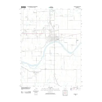
2009 Map of Wamego
USGS Topo · Published 2009About this map
The Kansas River serves as the central anchor for this Pottawatomie County landscape, separating the established city of Wamego from the community of Wabaunsee to the south. This 2009 survey captures the developed grid of Wamego, including the Wamego Municipal Airport and the Saint Bernard Cemetery, while highlighting the surrounding rural network of creek valleys and section roads. To the north, the town of Louisville sits along Rock Creek, a tributary that carves through the agricultural plains. Significant local landmarks such as Mt Mitchell and the Wabaunsee Cemetery provide valuable points of reference for genealogists and local historians tracking family roots in the region. The map also delineates several named water bodies including Deep Creek, Antelope Creek, and Coldwater Creek, which define the drainage patterns of this river valley area.
Find a feature on this map
79 named features on this map. Tap any name to fly to it.
Don’t see what you’re looking for? This feature index may not catch every label — zoom into the map to look around manually.
Map Details
Editions of this 2009 Wamego Map
This is the sole edition of this map. No revisions or reprints were ever made.
Other maps of this area

1889 · Wamego
USGS Topo · 1:125,000

1894 · Wamego
USGS Topo · 1:125,000

1953 · Wamego
USGS Topo · 1:24,000

1953 · St George
USGS Topo · 1:24,000

1953 · Belvue
USGS Topo · 1:24,000
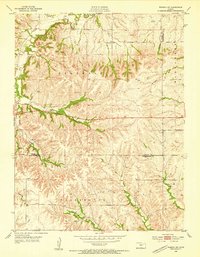
1953 · Wamego SW
USGS Topo · 1:24,000

1954 · Alma
USGS Topo · 1:24,000

1954 · Mc Farland
USGS Topo · 1:24,000

1955 · Manhattan
USGS Topo · 1:250,000

1956 · Manhattan
USGS Topo · 1:250,000