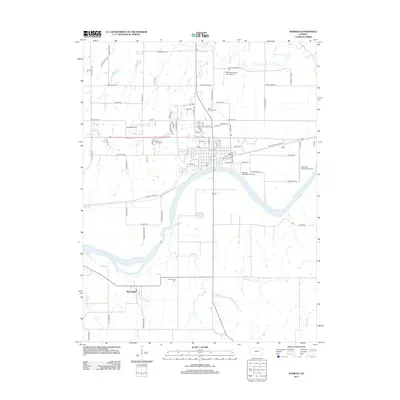
2012 Map of Wamego
USGS Topo · Published 2012About this map
The Kansas River winds through this landscape, defining the transition between the agricultural uplands and the river valley near the settlement of Wabaunsee. This region in Pottawatomie County is characterized by a grid of named rural roads, including historic routes like Military Trail Rd and Cannonball Rd, which suggest the area's long-standing role as a corridor for travel and transport across the Kansas plains. Local aviation history is evident through the presence of both the Wamego Municipal Airport and the smaller Miller Aeroplane Field Airport to the north.
Find a feature on this map
80 named features on this map. Tap any name to fly to it.
Don’t see what you’re looking for? This feature index may not catch every label — zoom into the map to look around manually.
Map Details
Editions of this 2012 Wamego Map
This is the sole edition of this map. No revisions or reprints were ever made.
Other maps of this area

1889 · Wamego
USGS Topo · 1:125,000

1894 · Wamego
USGS Topo · 1:125,000

1953 · Wamego
USGS Topo · 1:24,000

1953 · St George
USGS Topo · 1:24,000

1953 · Belvue
USGS Topo · 1:24,000
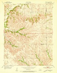
1953 · Wamego SW
USGS Topo · 1:24,000

1954 · Alma
USGS Topo · 1:24,000

1954 · Mc Farland
USGS Topo · 1:24,000

1955 · Manhattan
USGS Topo · 1:250,000

1956 · Manhattan
USGS Topo · 1:250,000