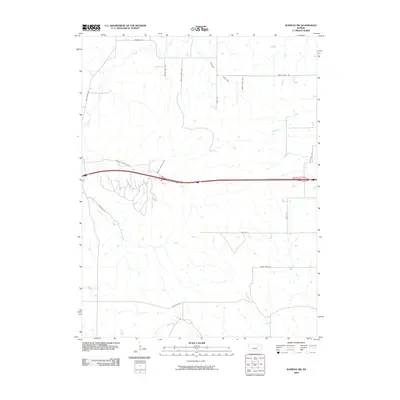
2009 Map of Wamego SW
USGS Topo · Published 2009About this map
The rolling drainage basins of Riley County define this landscape, where the Tabor Valley and numerous tributaries converge. The intricate network of waterways, including Deep Creek, School Creek, and Deadman Creek, illustrates the hydraulic patterns that shaped early land divisions and later transportation routes. Interstate 70 bisects the terrain, running east-west and crossing the upper reaches of the South Branch Deep Creek.
Find a feature on this map
24 named features on this map. Tap any name to fly to it.
Don’t see what you’re looking for? This feature index may not catch every label — zoom into the map to look around manually.
Map Details
Editions of this 2009 Wamego SW Map
This is the sole edition of this map. No revisions or reprints were ever made.
Other maps of this area

1885 · Eskridge
USGS Topo · 1:125,000

1886 · Junction City
USGS Topo · 1:125,000

1889 · Wamego
USGS Topo · 1:125,000

1889 · Junction City
USGS Topo · 1:125,000

1889 · Parkerville
USGS Topo · 1:125,000

1889 · Eskridge
USGS Topo · 1:125,000

1894 · Eskridge
USGS Topo · 1:125,000

1894 · Junction City
USGS Topo · 1:125,000

1894 · Parkerville
USGS Topo · 1:125,000

1894 · Wamego
USGS Topo · 1:125,000