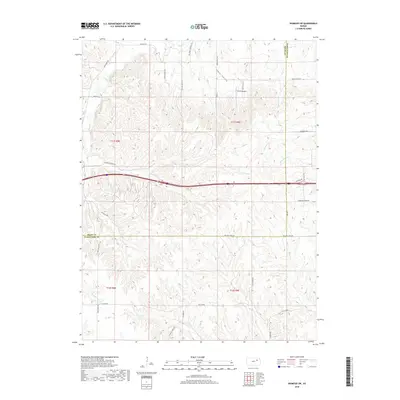
2018 Map of Wamego SW
USGS Topo · Published 2018About this map
Tabor Valley and the surrounding uplands of the Flint Hills region define this landscape at the boundary of Riley and Wabaunsee counties. The area is characterized by a complex drainage network including Deep Cr, E Br Deep Cr, and Antelope Cr, which carve through the terrain. The presence of Smith Airport serves as a modern waypoint in this primarily rural agricultural setting. Historical routes and family names are preserved in the road network, with labels such as Pillsbury Crossing Ln, Mineral Springs Rd, and Old K18 Rd suggesting the location of old crossings and mineral-rich waters. The map provides a detailed view of the sectional divisions across townships T11S R8E and T11S R9E, offering valuable data for researchers tracing land ownership and early rural infrastructure.
Find a feature on this map
35 named features on this map. Tap any name to fly to it.
Don’t see what you’re looking for? This feature index may not catch every label — zoom into the map to look around manually.
Map Details
Editions of this 2018 Wamego SW Map
This is the sole edition of this map. No revisions or reprints were ever made.
Other maps of this area

1885 · Eskridge
USGS Topo · 1:125,000

1886 · Junction City
USGS Topo · 1:125,000

1889 · Wamego
USGS Topo · 1:125,000

1889 · Junction City
USGS Topo · 1:125,000

1889 · Parkerville
USGS Topo · 1:125,000

1889 · Eskridge
USGS Topo · 1:125,000

1894 · Eskridge
USGS Topo · 1:125,000

1894 · Junction City
USGS Topo · 1:125,000

1894 · Parkerville
USGS Topo · 1:125,000

1894 · Wamego
USGS Topo · 1:125,000