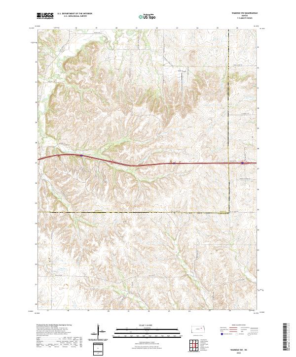
2022 Map of Wamego SW
USGS Topo · Published 2022About this map
The rolling drainage basins of the Flint Hills define this part of the Kansas landscape, where the boundary between Riley Co and Wabaunsee Co cuts through a complex network of creeks. The drainage is dominated by Deep Cr and its various branches, including E Br Deep Cr and S Br Deep Cr, which have carved out the prominent Tabor Valley. This terrain historically dictated the placement of rural infrastructure, visible here in the winding paths of Mineral Springs Rd and Tabor Valley Rd.
Find a feature on this map
35 named features on this map. Tap any name to fly to it.
Don’t see what you’re looking for? This feature index may not catch every label — zoom into the map to look around manually.
Map Details
Editions of this 2022 Wamego SW Map
This is the sole edition of this map. No revisions or reprints were ever made.
Other maps of this area

1885 · Eskridge
USGS Topo · 1:125,000

1886 · Junction City
USGS Topo · 1:125,000

1889 · Wamego
USGS Topo · 1:125,000

1889 · Junction City
USGS Topo · 1:125,000

1889 · Parkerville
USGS Topo · 1:125,000

1889 · Eskridge
USGS Topo · 1:125,000

1894 · Eskridge
USGS Topo · 1:125,000

1894 · Junction City
USGS Topo · 1:125,000

1894 · Parkerville
USGS Topo · 1:125,000

1894 · Wamego
USGS Topo · 1:125,000