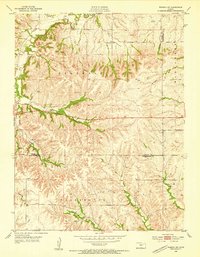
1953 Map of Wamego SW
USGS Topo · Published 1955About this map
The boundary between Riley and Wabaunsee Counties runs through this dissected landscape of the Flint Hills during the early 1950s. The area is characterized by high, flat-topped ridges like Tabor Hill and deep drainage networks feeding into Deep Creek. This rural section of Zeandale and Washington townships shows a community tied to the land and localized infrastructure.
Find a feature on this map
17 named features on this map. Tap any name to fly to it.
Don’t see what you’re looking for? This feature index may not catch every label — zoom into the map to look around manually.
Map Details
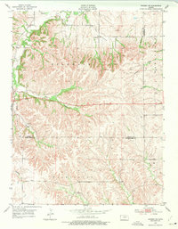
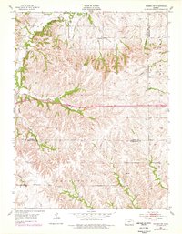
Editions of this 1953 Wamego SW Map
3 editions found
Other maps of this area

1885 · Eskridge
USGS Topo · 1:125,000

1886 · Junction City
USGS Topo · 1:125,000

1889 · Wamego
USGS Topo · 1:125,000

1889 · Junction City
USGS Topo · 1:125,000

1889 · Parkerville
USGS Topo · 1:125,000

1889 · Eskridge
USGS Topo · 1:125,000

1894 · Eskridge
USGS Topo · 1:125,000

1894 · Junction City
USGS Topo · 1:125,000

1894 · Parkerville
USGS Topo · 1:125,000

1894 · Wamego
USGS Topo · 1:125,000