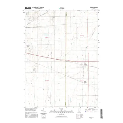
2016 Map of Wanatah
USGS Topo · Published 2016About this map
Wanatah and South Wanatah serve as the primary residential hubs in this agricultural landscape along the Porter Co LaPorte Co boundary. The map reveals an intricate drainage system necessary for the region's productive farmlands, featuring man-made waterways like Koselke Ditch, Greiger Ditch, and Slocum Ditch that feed into Crooked Cr. Aviation history and infrastructure are prominent on the western edge, where the Porter County Regional Airport and the Wyckoff Airstrip are situated. Local genealogy is supported by the clear marking of several historic burial sites, including Luther Cem and Sacred Heart Cem. The transportation network is defined by a rigid grid of rural routes such as Old State Rd 2 and Division Rd, which facilitate the movement of goods through the Indiana countryside.
Find a feature on this map
55 named features on this map. Tap any name to fly to it.
Don’t see what you’re looking for? This feature index may not catch every label — zoom into the map to look around manually.
Map Details
Editions of this 2016 Wanatah Map
This is the sole edition of this map. No revisions or reprints were ever made.
Other maps of this area

1934 · Porter
USGS Topo · 1:48,000

1940 · Porter
USGS Topo · 1:62,500

1953 · Wanatah
USGS Topo · 1:24,000

1953 · Westville
USGS Topo · 1:24,000

1953 · Valparaiso
USGS Topo · 1:24,000

1953 · Chesterton
USGS Topo · 1:24,000

1953 · Kouts
USGS Topo · 1:24,000

1953 · Chicago
USGS Topo · 1:250,000

1957 · Chicago
USGS Topo · 1:250,000

1958 · La Crosse
USGS Topo · 1:24,000