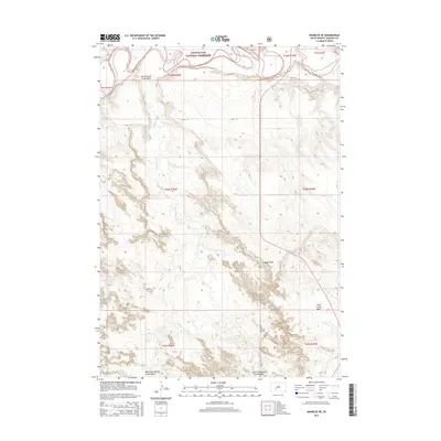
2015 Map of Wanblee NE
USGS Topo · Published 2015About this map
Buffalo Gap National Grassland dominates the northern landscape of this Jackson County quadrangle, where the White River carves a meandering path across the plains. The terrain is defined by a series of distinct geographic depressions, most notably the Cottonwood Creek Basin and its divided upper reaches, West Cottonwood Creek Basin and East Cottonwood Creek Basin. These basins illustrate the drainage patterns of Cottonwood Cr as it flows toward the river valley. In the southern portion of the map, Kodak Point stands as a prominent topographical landmark overlooking the surrounding draws. The area remains largely undeveloped, with transit limited to thoroughfares like Red Stone Rd and 254th St, preserving the open character of the South Dakota prairie during the early twenty-first century.
Find a feature on this map
17 named features on this map. Tap any name to fly to it.
Don’t see what you’re looking for? This feature index may not catch every label — zoom into the map to look around manually.
Map Details
Editions of this 2015 Wanblee NE Map
This is the sole edition of this map. No revisions or reprints were ever made.
Other maps of this area

1950 · Wanblee
USGS Topo · 1:24,000

1950 · Weta
USGS Topo · 1:24,000

1951 · Wanblee NW
USGS Topo · 1:24,000

1951 · Pass Creek NW
USGS Topo · 1:24,000

1951 · Kadoka
USGS Topo · 1:24,000

1951 · Belvidere SW
USGS Topo · 1:24,000

1951 · Wanblee NE
USGS Topo · 1:24,000

1955 · Martin
USGS Topo · 1:250,000

1958 · Martin
USGS Topo · 1:250,000

1980 · Kadoka
USGS Topo · 1:100,000