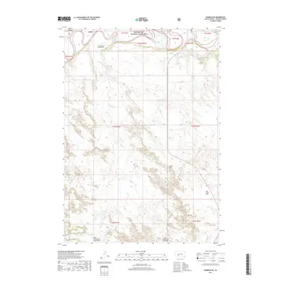
2017 Map of Wanblee NE
USGS Topo · Published 2017About this map
The White River winds through the northern reaches of this landscape, carving a distinct corridor through the Buffalo Gap National Grassland. This section of South Dakota is defined by its dramatic drainage basins, including the expansive Cottonwood Creek Basin and the split topographies of the West Cottonwood Creek Basin and East Cottonwood Creek Basin. These natural depressions illustrate the complex erosional patterns of the Great Plains, where Cottonwood Cr feeds into larger river systems.
Find a feature on this map
24 named features on this map. Tap any name to fly to it.
Don’t see what you’re looking for? This feature index may not catch every label — zoom into the map to look around manually.
Map Details
Editions of this 2017 Wanblee NE Map
This is the sole edition of this map. No revisions or reprints were ever made.
Other maps of this area

1950 · Wanblee
USGS Topo · 1:24,000

1950 · Weta
USGS Topo · 1:24,000

1951 · Wanblee NW
USGS Topo · 1:24,000

1951 · Pass Creek NW
USGS Topo · 1:24,000

1951 · Kadoka
USGS Topo · 1:24,000

1951 · Belvidere SW
USGS Topo · 1:24,000

1951 · Wanblee NE
USGS Topo · 1:24,000

1955 · Martin
USGS Topo · 1:250,000

1958 · Martin
USGS Topo · 1:250,000

1980 · Kadoka
USGS Topo · 1:100,000