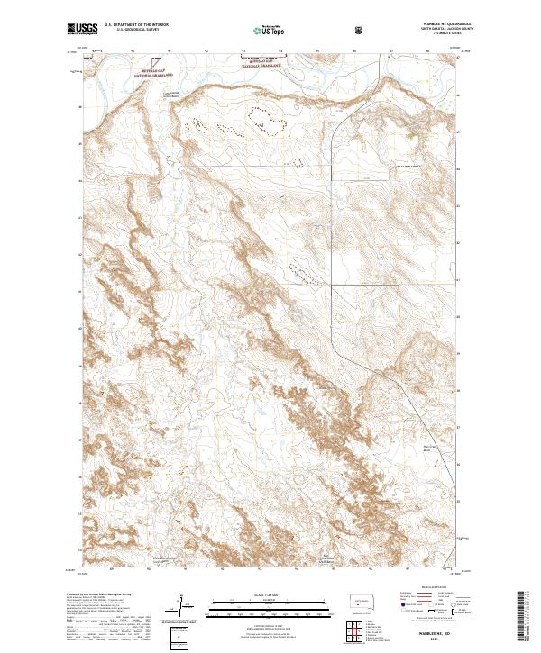
2021 Map of Wanblee NE
USGS Topo · Published 2021About this map
Buffalo Gap National Grassland dominates the northern landscape of this Jackson County quadrangle, where the meandering course of the White River carves through the prairie. The topography is defined by significant drainage systems and erosion-formed features, including the Cottonwood Creek Basin and the prominent overlook at Kodak Point. This territory, mapped by the U.S. Geological Survey, illustrates a rural expanse shaped by the cattle-ranching environment of western South Dakota. A network of local roads such as CS 79 and CS 78 provide the primary access through these vast grassland tracts. The southern portion of the map transitions into specialized drainage basins like Pass Creek Basin and the divided headwaters of West Cottonwood Creek Basin and East Cottonwood Creek Basin, showing the complex hydrologic patterns that define the local ranching geography.
Find a feature on this map
23 named features on this map. Tap any name to fly to it.
Don’t see what you’re looking for? This feature index may not catch every label — zoom into the map to look around manually.
Map Details
Editions of this 2021 Wanblee NE Map
This is the sole edition of this map. No revisions or reprints were ever made.
Other maps of this area

1950 · Wanblee
USGS Topo · 1:24,000

1950 · Weta
USGS Topo · 1:24,000

1951 · Wanblee NW
USGS Topo · 1:24,000

1951 · Pass Creek NW
USGS Topo · 1:24,000

1951 · Kadoka
USGS Topo · 1:24,000

1951 · Belvidere SW
USGS Topo · 1:24,000

1951 · Wanblee NE
USGS Topo · 1:24,000

1955 · Martin
USGS Topo · 1:250,000

1958 · Martin
USGS Topo · 1:250,000

1980 · Kadoka
USGS Topo · 1:100,000