
1919 Map of Wando
USGS Topo · Published 1919About this map
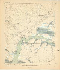
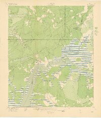
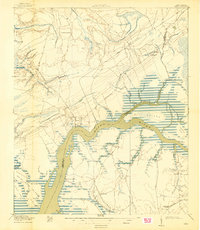
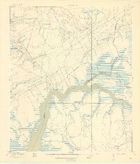
Wando River dominates this low-lying landscape during the late 1910s, serving as a primary artery for trade and movement between Berkeley and Charleston Counties. The settlements of Wando and Cainhoy sit as quiet hubs along the river, supported by a network of landings such as Lachicotte Landing and Martins Point Landing. The era’s industrial footprint is visible through the Lumber R. R., which cuts through the wooded interior north of Guerin Creek, signaling the importance of timber to the local economy. Religious and educational life is anchored by local landmarks including St Matthews Church, St Pauls Church, and the Christ Church Academy. Traditional transportation routes like the Ferry Road and Georgetown Road provide the overland connections to the wider coastal region, while Clements Ferry offers a vital crossing over the inland marshes.
Find a feature on this map
35 named features on this map. Tap any name to fly to it.
Don’t see what you’re looking for? This feature index may not catch every label — zoom into the map to look around manually.
Map Details
Editions of this 1919 Wando Map
5 editions found
Other maps of this area

1919 · Capers Island
USGS Topo · 1:21,120

1919 · Cordesville
USGS Topo · 1:48,000

1919 · Melgrove
USGS Topo · 1:21,120

1919 · Charleston
USGS Topo · 1:21,120

1919 · Fort Moultrie
USGS Topo · 1:21,120

1919 · Sewee Bay
USGS Topo · 1:21,120

1940 · Melgrove
USGS Topo · 1:24,000

1943 · Capers Island
USGS Topo · 1:24,000

1943 · Fort Moultrie
USGS Topo · 1:24,000

1943 · Wando
USGS Topo · 1:24,000