
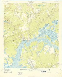
1943 Map of Wando
USGS Topo · Published 1943About this map
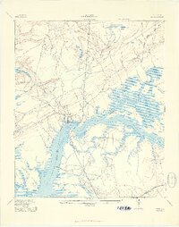
The Wando River serves as the central artery for this coastal landscape, defining the boundary between Berkeley and Charleston counties during the early 1940s. The settlements of Wando and Cainhoy anchor the riverbanks, where the maritime economy is evidenced by historic river access points like Martins Point Landing and Lachicotte Landing. Inland, the terrain is a complex network of wetlands and tidal creeks, including Guerin Creek and Elevenmile Creek, interspersed with upland roads such as Clements Ferry Road and McClellanville Road.
Find a feature on this map
30 named features on this map. Tap any name to fly to it.
Don’t see what you’re looking for? This feature index may not catch every label — zoom into the map to look around manually.
Map Details
Editions of this 1943 Wando Map
3 editions found
Other maps of this area

1919 · Capers Island
USGS Topo · 1:21,120

1919 · Wando
USGS Topo · 1:21,120

1919 · Cordesville
USGS Topo · 1:48,000

1919 · Melgrove
USGS Topo · 1:21,120

1919 · Charleston
USGS Topo · 1:21,120

1919 · Fort Moultrie
USGS Topo · 1:21,120

1919 · Sewee Bay
USGS Topo · 1:21,120

1940 · Melgrove
USGS Topo · 1:24,000

1943 · Capers Island
USGS Topo · 1:24,000

1943 · Fort Moultrie
USGS Topo · 1:24,000