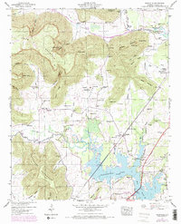
1947 Map of Wannville
USGS Topo · Published 1972About this map
Guntersville Lake dominates the lowland terrain where the Southern Railway navigates the edge of the water near the settlement of Wannville. This 1947 field survey, updated in 1970, shows a landscape defined by the juxtaposition of federal water management and established mountain communities. To the west, the massive formations of Crow Mountain and Poorhouse Mountain are cut by numerous hollows and coves, such as Goshen Hollow and Inglis Cove, where small family cemeteries like Middleton Cem and Roach Cem reflect generations of local residency. Notable federal land tracts, including the Samuel Key Reservation and William Key Reservation, are located north of Fackler. The presence of the Pauper Cem on the slopes of Poorhouse Mountain offers a stark genealogical insight into the region's social history during this era.
Find a feature on this map
73 named features on this map. Tap any name to fly to it.
Don’t see what you’re looking for? This feature index may not catch every label — zoom into the map to look around manually.
Map Details
Editions of this 1947 Wannville Map
2 editions found
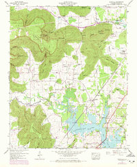
Other maps of this area

1886 · Stevenson
USGS Topo · 1:125,000

1888 · Scottsboro
USGS Topo · 1:125,000

1892 · Scottsboro
USGS Topo · 1:125,000

1892 · Stevenson
USGS Topo · 1:125,000

1895 · Stevenson
USGS Topo · 1:125,000

1936 · Scottsboro
USGS Topo · 1:24,000

1936 · Wannville
USGS Topo · 1:24,000

1936 · Mud Creek
USGS Topo · 1:24,000

1936 · Hytop
USGS Topo · 1:24,000

1936 · Hollywood
USGS Topo · 1:24,000