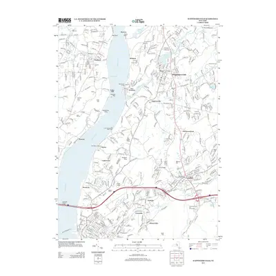
2013 Map of Wappingers Falls
USGS Topo · Published 2013About this map
The Hudson River corridor near Wappingers Falls serves as a vital artery for transportation and industry, as shown in this 2013 geographic record. The waterway is marked by historic navigation points like Diamond Reef, Lange Rack, and Danskammer Point, while the eastern shore is defined by the heavy rail infrastructure of the CSX line. This survey captures the densely settled areas of Fishkill and Glenham alongside significant cultural landmarks such as the Van Wyck Homestead and the First Reformed Protestant Dutch Cemetery.
Find a feature on this map
62 named features on this map. Tap any name to fly to it.
Don’t see what you’re looking for? This feature index may not catch every label — zoom into the map to look around manually.
Map Details
Editions of this 2013 Wappingers Falls Map
This is the sole edition of this map. No revisions or reprints were ever made.
Other maps of this area

1892 · West Point
USGS Topo · 1:62,500

1893 · Poughkeepsie
USGS Topo · 1:62,500

1894 · West Point
USGS Topo · 1:62,500

1894 · Poughkeepsie
USGS Topo · 1:62,500

1899 · West Point
USGS Topo · 1:62,500

1901 · West Point
USGS Topo · 1:62,500

1902 · Schunemunk
USGS Topo · 1:62,500

1903 · Poughkeepsie
USGS Topo · 1:62,500

1903 · Newburg
USGS Topo · 1:62,500

1930 · Schunemunk
USGS Topo · 1:48,000