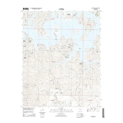
2014 Map of War Eagle
USGS Topo · Published 2014About this map
War Eagle Creek and the vast waters of Beaver Lake dominate this northwest Arkansas landscape, where the rugged terrain of Benton and Carroll Counties meets modern residential development. The map details the complex shoreline created by the reservoir, which has transformed former valleys like Ventris Hollow and Van Hollow into deep inlets. Near the center of the sheet, the historic crossing at War Eagle Bridge remains a focal point, supported by the nearby War Eagle Cemetery.
Find a feature on this map
150 named features on this map. Tap any name to fly to it.
Don’t see what you’re looking for? This feature index may not catch every label — zoom into the map to look around manually.
Map Details
Editions of this 2014 War Eagle Map
This is the sole edition of this map. No revisions or reprints were ever made.
Other maps of this area

1899 · Fayetteville
USGS Topo · 1:125,000

1900 · Eureka Springs
USGS Topo · 1:125,000

1901 · Eureka Springs
USGS Topo · 1:125,000

1901 · Fayetteville
USGS Topo · 1:125,000

1904 · Fayetteville
USGS Topo · 1:125,000

1945 · Harrison
USGS Topo · 1:250,000

1949 · Harrison
USGS Topo · 1:250,000

1954 · Harrison
USGS Topo · 1:250,000

1954 · Tulsa
USGS Topo · 1:250,000

1957 · Mundell
USGS Topo · 1:24,000