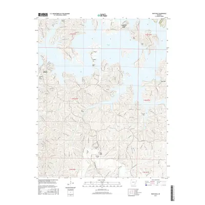
2017 Map of War Eagle
USGS Topo · Published 2017About this map
War Eagle and the surrounding Ozark foothills are defined by the winding course of War Eagle Cr as it flows toward the expansive waters of Beaver Lake. This 2017 survey details the rugged topography of Benton County, where deep hollows like Ventris Hollow and Van Hollow meet high points such as War Eagle Bluff and Pine Top. The settlement pattern reflects both long-standing rural communities and modern lakeside developments, ranging from the historic War Eagle Bridge area to the residential clusters of Lost Bridge Village Glade and Beacon Addition.
Find a feature on this map
146 named features on this map. Tap any name to fly to it.
Don’t see what you’re looking for? This feature index may not catch every label — zoom into the map to look around manually.
Map Details
Editions of this 2017 War Eagle Map
This is the sole edition of this map. No revisions or reprints were ever made.
Other maps of this area

1899 · Fayetteville
USGS Topo · 1:125,000

1900 · Eureka Springs
USGS Topo · 1:125,000

1901 · Eureka Springs
USGS Topo · 1:125,000

1901 · Fayetteville
USGS Topo · 1:125,000

1904 · Fayetteville
USGS Topo · 1:125,000

1945 · Harrison
USGS Topo · 1:250,000

1949 · Harrison
USGS Topo · 1:250,000

1954 · Harrison
USGS Topo · 1:250,000

1954 · Tulsa
USGS Topo · 1:250,000

1957 · Mundell
USGS Topo · 1:24,000