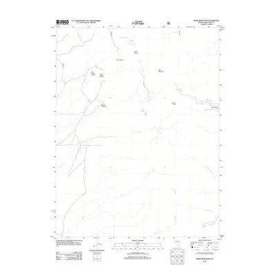
2012 Map of Ward Mountain
USGS Topo · Published 2012About this map
Ward Mountain dominates this portion of White Pine County, rising above a landscape defined by dramatic elevation changes and essential water sources. The terrain is structured by a series of distinct levels, most notably the Upper Terrace and Lower Terrace, which transition into deep cuts like Blue Spring Canyon and Ragsdale Canyon. These geological features influenced the movement of early travelers and ranchers through the Great Basin.
Find a feature on this map
25 named features on this map. Tap any name to fly to it.
Don’t see what you’re looking for? This feature index may not catch every label — zoom into the map to look around manually.
Map Details
Editions of this 2012 Ward Mountain Map
This is the sole edition of this map. No revisions or reprints were ever made.
Other maps of this area

1952 · Ely
USGS Topo · 1:125,000

1956 · Lund
USGS Topo · 1:250,000

1956 · Ely
USGS Topo · 1:250,000

1958 · Comins Lake
USGS Topo · 1:24,000

1958 · Ely
USGS Topo · 1:62,500

1958 · Giroux Wash
USGS Topo · 1:24,000

1958 · Ely
USGS Topo · 1:24,000

1959 · Ely
USGS Topo · 1:250,000

1959 · Preston Reservoir
USGS Topo · 1:62,500

1960 · Lund
USGS Topo · 1:250,000