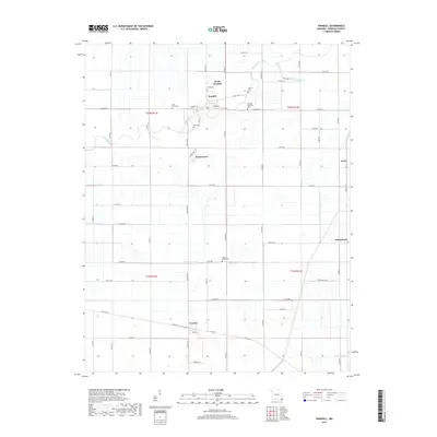
2017 Map of Wardell
USGS Topo · Published 2017About this map
Wardell and its smaller neighbor North Wardell anchor this section of the Missouri Bootheel, an area defined by a complex network of artificial drainage and natural waterways. The Little River meanders through the landscape, alongside a series of numbered engineering works such as Ditch Number 68 and Ditch Number 70, which transformed this low-lying region into productive agricultural land.
Find a feature on this map
66 named features on this map. Tap any name to fly to it.
Don’t see what you’re looking for? This feature index may not catch every label — zoom into the map to look around manually.
Map Details
Editions of this 2017 Wardell Map
This is the sole edition of this map. No revisions or reprints were ever made.
Other maps of this area

1939 · Portageville
USGS Topo · 1:62,500

1939 · Caruthersville
USGS Topo · 1:62,500

1940 · Pascola
USGS Topo · 1:62,500

1940 · Hayti
USGS Topo · 1:62,500

1951 · Caruthersville
USGS Topo · 1:62,500

1955 · Pascola
USGS Topo · 1:62,500

1955 · Hayti
USGS Topo · 1:62,500

1955 · Portageville
USGS Topo · 1:62,500

1956 · Dyersburg
USGS Topo · 1:250,000

1957 · Caruthersville
USGS Topo · 1:62,500