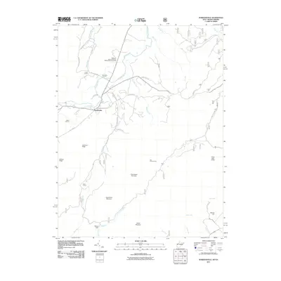
2011 Map of Wardensville
USGS Topo · Published 2011About this map
Wardensville serves as the focal point of this Hardy County survey, situated at the junction of Trout Run and the north-flowing Cacapon River. The landscape is dominated by the steep rises of Great North Mountain and Anderson Ridge, which frame the agricultural and institutional lands of the Reymann Memorial Farms West Virginia University. Local family history is well-preserved through several burial sites scattered across the valley, including Clagett Cemetery and Alum-Bank Cemetery north of the main settlement, and Wilson Cemetery to the west.
Find a feature on this map
42 named features on this map. Tap any name to fly to it.
Don’t see what you’re looking for? This feature index may not catch every label — zoom into the map to look around manually.
Map Details
Editions of this 2011 Wardensville Map
This is the sole edition of this map. No revisions or reprints were ever made.
Other maps of this area

1891 · Romney
USGS Topo · 1:125,000

1892 · Woodstock
USGS Topo · 1:125,000

1893 · Luray
USGS Topo · 1:125,000

1894 · Winchester
USGS Topo · 1:125,000

1905 · Luray
USGS Topo · 1:125,000

1922 · Wardensville
USGS Topo · 1:62,500

1923 · Middletown
USGS Topo · 1:62,500

1923 · Edinburg
USGS Topo · 1:62,500

1924 · Wardensville
USGS Topo · 1:62,500

1937 · Middletown
USGS Topo · 1:48,000