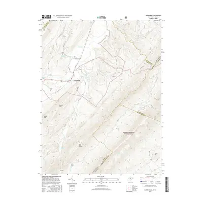
2016 Map of Wardensville
USGS Topo · Published 2016About this map
The town of Wardensville serves as the focal point of this Hardy County survey, situated at the confluence of several vital water sources and mountain gaps. The town is surrounded by a network of named springs, including Richard Farm Spring and Lower State Farm Spring, which fed the agricultural life of the valley. To the east and south, the terrain rises sharply into the protected lands of the George Washington National Forest, dominated by the massive heights of Great North Mountain and Paddy Mtn. Geographers and local historians can trace the intricate boundary lines where Hardy and Hampshire Counties meet, as well as the interstate border between West Virginia and Virginia. The map details a landscape defined by significant ridges like Big Ridge and Anderson Ridge, while documenting family-oriented landmarks such as the Clagett Cem and Alum Bank Cem, preserving the location of early regional burial sites.
Find a feature on this map
60 named features on this map. Tap any name to fly to it.
Don’t see what you’re looking for? This feature index may not catch every label — zoom into the map to look around manually.
Map Details
Editions of this 2016 Wardensville Map
This is the sole edition of this map. No revisions or reprints were ever made.
Other maps of this area

1891 · Romney
USGS Topo · 1:125,000

1892 · Woodstock
USGS Topo · 1:125,000

1893 · Luray
USGS Topo · 1:125,000

1894 · Winchester
USGS Topo · 1:125,000

1905 · Luray
USGS Topo · 1:125,000

1922 · Wardensville
USGS Topo · 1:62,500

1923 · Middletown
USGS Topo · 1:62,500

1923 · Edinburg
USGS Topo · 1:62,500

1924 · Wardensville
USGS Topo · 1:62,500

1937 · Middletown
USGS Topo · 1:48,000