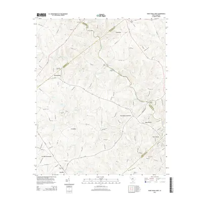
2014 Map of Ware Shoals West
USGS Topo · Published 2014About this map
The Saluda River winds through this Piedmont landscape, defining the boundaries where Greenville, Laurens, and Abbeville counties meet. The river's character is marked by several named shoals, including Narrow Shoal, Rutledge Shoals, and Maddox Shoals, which traditionally served as vital crossing points and early industrial sites. Local transport history is visible in the network of crossings such as Kay Bridge, Irwin Bridge, and the historic Rutledge Ford.
Find a feature on this map
120 named features on this map. Tap any name to fly to it.
Don’t see what you’re looking for? This feature index may not catch every label — zoom into the map to look around manually.
Map Details
Editions of this 2014 Ware Shoals West Map
This is the sole edition of this map. No revisions or reprints were ever made.
Other maps of this area

1892 · Abbeville
USGS Topo · 1:125,000

1954 · Greenville
USGS Topo · 1:250,000

1957 · Fountain Inn
USGS Topo · 1:62,500

1957 · Williamston
USGS Topo · 1:62,500

1958 · Greenville
USGS Topo · 1:250,000
1970 · Honea Path
USGS Topo · 1:24,000
1971 · Cokesbury
USGS Topo · 1:24,000
1971 · Due West
USGS Topo · 1:24,000
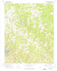
1971 · Ware Shoals East
USGS Topo · 1:24,000
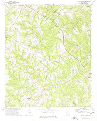
1971 · Shoals Junction
USGS Topo · 1:24,000