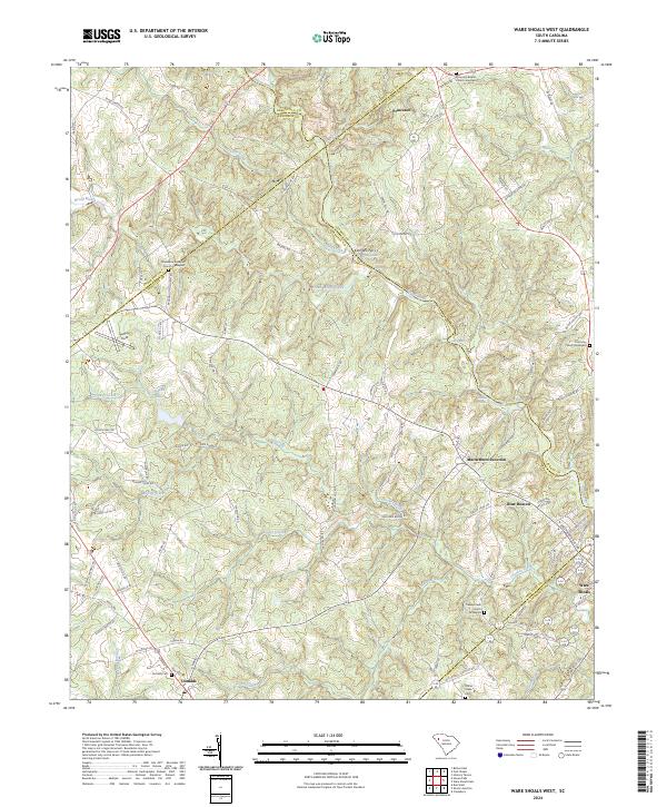
2024 Map of Ware Shoals West
USGS Topo · Published 2024About this map
The Saluda River winds through this Piedmont landscape, serving as a natural boundary for several South Carolina counties. Along its banks, geological features like Narrow Shoal, Rutledge Shoals, and Maddox Shoals dictate the river's character, while the surrounding hills are dotted with small agricultural settlements and crossroads. The area's social history is anchored by numerous denominational sites, including the Princeton Baptist Church Graveyard and Broadmouth Baptist Church Graveyard, which alongside Harmony Church Graveyard and Turkey Creek Church Graveyard, provide significant points of interest for genealogical research.
Find a feature on this map
113 named features on this map. Tap any name to fly to it.
Don’t see what you’re looking for? This feature index may not catch every label — zoom into the map to look around manually.
Map Details
Editions of this 2024 Ware Shoals West Map
This is the sole edition of this map. No revisions or reprints were ever made.
Historical Maps of Foxville Crossroads Through Time
16 maps found

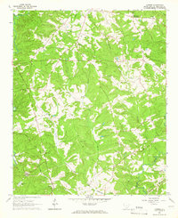
1948 Abbeville East
Abbeville County, SC

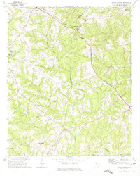
1948 Abbeville West
Abbeville County, SC
1948 Verdery
Abbeville County, SC
1949 Calhoun Creek
Abbeville County, SC

1950 Abbeville East
Abbeville County, SC
1950 Verdery
Abbeville County, SC
1964 Latimer
Abbeville County, SC
1971 Shoals Junction
Abbeville County, SC

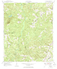
1971 Ware Shoals West
Abbeville County, SC
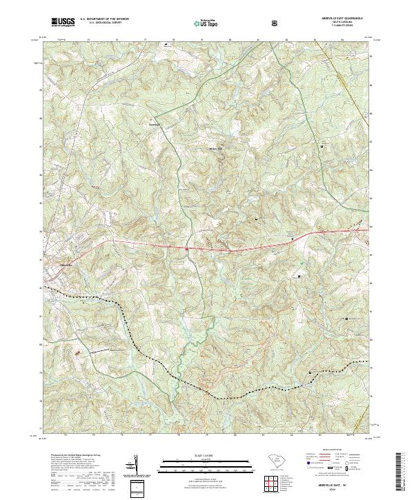
2024 Abbeville East
Abbeville County, SC
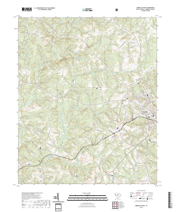
2024 Abbeville West
Abbeville County, SC
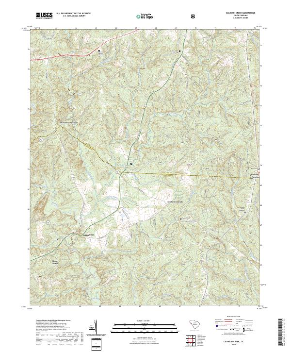
2024 Calhoun Creek
Abbeville County, SC
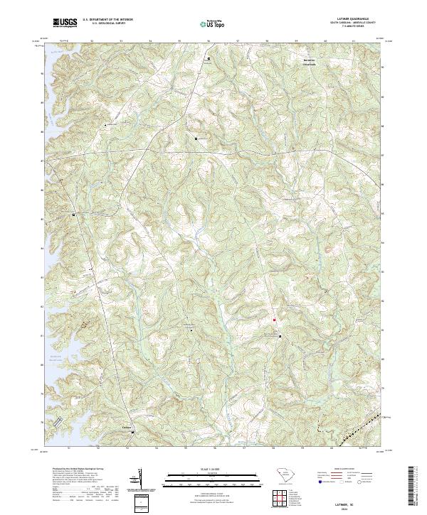
2024 Latimer
Abbeville County, SC
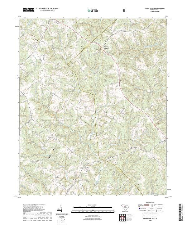
2024 Shoals Junction
Abbeville County, SC
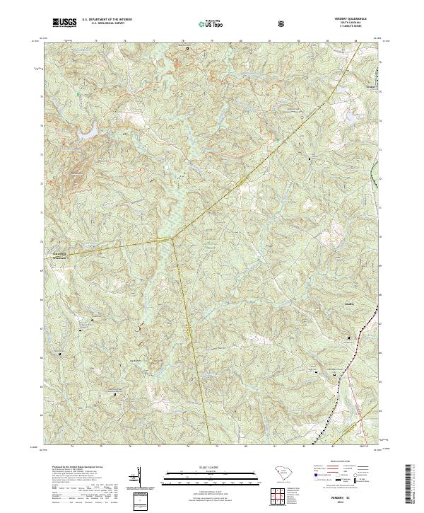
2024 Verdery
Abbeville County, SC
2024 Ware Shoals West
Abbeville County, SC