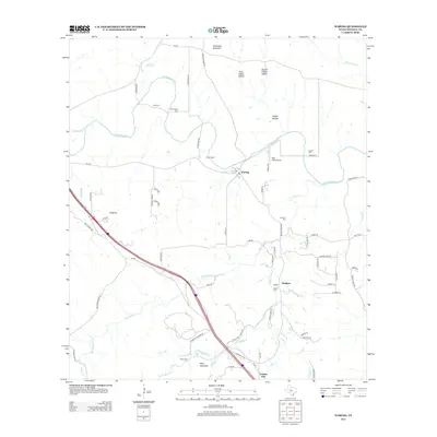
2013 Map of Waring
USGS Topo · Published 2013About this map
The Guadalupe River carves a winding path through this portion of the Texas Hill Country, anchoring a landscape where small settlements like Waring and Welfare maintain a quiet presence. The topography is defined by significant elevations such as Schleicher Mountain and Ring Mountain, while the lowlands are marked by series of drainages including First Coffee Hollow and Big Joshua Cr. The arrival of the modern interstate era is clearly visible as I-10 bisects the terrain, creating a stark contrast to the older farm-to-market roads like FM-1621 and FM-473.
Find a feature on this map
73 named features on this map. Tap any name to fly to it.
Don’t see what you’re looking for? This feature index may not catch every label — zoom into the map to look around manually.
Map Details
Editions of this 2013 Waring Map
This is the sole edition of this map. No revisions or reprints were ever made.
Other maps of this area

1894 · Fredericksburg
USGS Topo · 1:125,000

1954 · Llano
USGS Topo · 1:250,000

1954 · San Antonio
USGS Topo · 1:250,000

1955 · Llano
USGS Topo · 1:250,000

1956 · Comfort
USGS Topo · 1:62,500

1956 · Llano
USGS Topo · 1:250,000

1957 · Boerne
USGS Topo · 1:62,500

1957 · San Antonio
USGS Topo · 1:250,000

1963 · Whitworth Ranch
USGS Topo · 1:24,000

1964 · Comfort
USGS Topo · 1:24,000