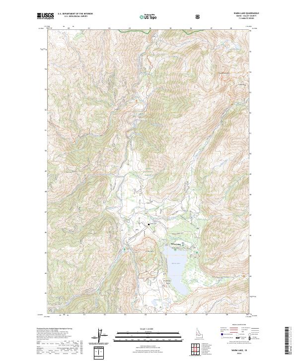
2024 Map of Warm Lake
USGS Topo · Published 2024About this map
Warm Lake serves as the central hub of this recreation-focused landscape in the Boise National Forest. The map documents a blend of conservation and seasonal habitation, evidenced by the McCall Fish Hatchery and the Shoreline Summer Homes cluster near Picnic Point. The terrain is defined by a series of steep drainages named for currency—including Dollar Creek, Dime Creek, and Nickel Creek—which flow toward the South Fork Salmon River.
Find a feature on this map
48 named features on this map. Tap any name to fly to it.
Don’t see what you’re looking for? This feature index may not catch every label — zoom into the map to look around manually.
Map Details
Editions of this 2024 Warm Lake Map
This is the sole edition of this map. No revisions or reprints were ever made.
Other maps of this area
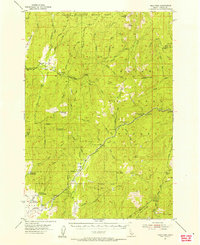
1954 · Gold Fork
USGS Topo · 1:62,500
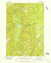
1954 · Warm Lake
USGS Topo · 1:62,500
1957 · Challis
USGS Topo · 1:250,000
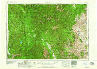
1960 · Challis
USGS Topo · 1:250,000
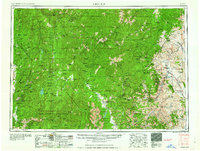
1963 · Challis
USGS Topo · 1:250,000
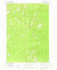
1973 · Blackmare
USGS Topo · 1:24,000
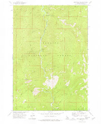
1973 · White Rock Peak
USGS Topo · 1:24,000
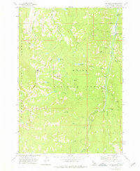
1973 · Log Mountain
USGS Topo · 1:24,000
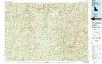
1982 · Pistol Creek
USGS Topo · 1:100,000
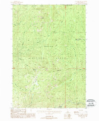
1988 · Gold Fork Rock
USGS Topo · 1:24,000