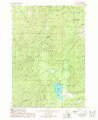
1988 Map of Warm Lake
USGS Topo · Published 1988About this map
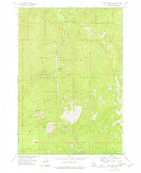
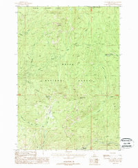
Warm Lake serves as the focal point of this high-elevation landscape, where recreation and conservation meet in the late 1980s. The area is dominated by the Boise National Forest and the Payette National Forest, with the South Fork Salmon River cutting a deep path through the center. Small-scale development is concentrated around the lake shore at the Warm Lake Lodge, Shoreline Campground, and a Boat Ramp near Picnic Point.
Find a feature on this map
31 named features on this map. Tap any name to fly to it.
Don’t see what you’re looking for? This feature index may not catch every label — zoom into the map to look around manually.
Map Details
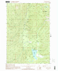
Editions of this 1988 Warm Lake Map
2 editions found
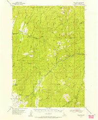
Other maps of this area
1954 · Gold Fork
USGS Topo · 1:62,500
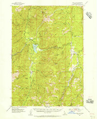
1954 · Warm Lake
USGS Topo · 1:62,500

1957 · Challis
USGS Topo · 1:250,000

1960 · Challis
USGS Topo · 1:250,000

1963 · Challis
USGS Topo · 1:250,000
1973 · Blackmare
USGS Topo · 1:24,000
1973 · White Rock Peak
USGS Topo · 1:24,000
1973 · Log Mountain
USGS Topo · 1:24,000
1982 · Pistol Creek
USGS Topo · 1:100,000
1988 · Gold Fork Rock
USGS Topo · 1:24,000