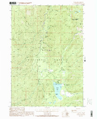
1988 Map of Warm Lake
USGS Topo · Published 1988About this map
The South Fork Salmon River carves through the central corridor of this high-elevation Idaho landscape, defining the topography between the Payette Nat For and Boise National Forest. High above the river valley, the Lookout Thunderbolt 8654 stands on Thunderbolt Mountain, overseeing a network of drainage systems including Mirror Creek and Nickel Creek.
Find a feature on this map
30 named features on this map. Tap any name to fly to it.
Don’t see what you’re looking for? This feature index may not catch every label — zoom into the map to look around manually.
Map Details
Editions of this 1988 Warm Lake Map
2 editions found
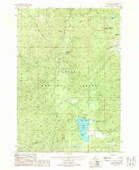
Other maps of this area

1954 · Gold Fork
USGS Topo · 1:62,500

1954 · Warm Lake
USGS Topo · 1:62,500

1957 · Challis
USGS Topo · 1:250,000

1960 · Challis
USGS Topo · 1:250,000

1963 · Challis
USGS Topo · 1:250,000

1973 · Blackmare
USGS Topo · 1:24,000

1973 · White Rock Peak
USGS Topo · 1:24,000
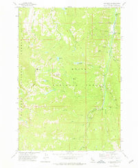
1973 · Log Mountain
USGS Topo · 1:24,000

1982 · Pistol Creek
USGS Topo · 1:100,000
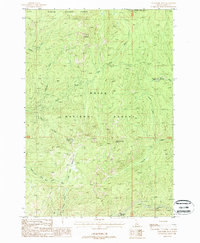
1988 · Gold Fork Rock
USGS Topo · 1:24,000