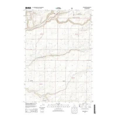
2013 Map of Warm River
USGS Topo · Published 2013About this map
Targhee National Forest dominates the northern landscape where Warm River and Robinson Creek converge. This 2013 survey illustrates the complex water management system of the Snake River Plain, featuring the Yellowstone Canal, Marysville Canal, and Farmers Own Canal as they divert water across the plains south of Hale Canyon. These irrigation works represent a critical layer of the region's agricultural development, supporting rural settlements like Grainville and Squirrel.
Find a feature on this map
50 named features on this map. Tap any name to fly to it.
Don’t see what you’re looking for? This feature index may not catch every label — zoom into the map to look around manually.
Map Details
Editions of this 2013 Warm River Map
This is the sole edition of this map. No revisions or reprints were ever made.
Other maps of this area

1955 · Ashton
USGS Topo · 1:250,000

1955 · Driggs
USGS Topo · 1:250,000

1957 · Warm River Butte
USGS Topo · 1:62,500

1958 · Driggs
USGS Topo · 1:250,000

1958 · Ashton
USGS Topo · 1:250,000

1960 · Ashton
USGS Topo · 1:250,000

1962 · Driggs
USGS Topo · 1:250,000

1965 · Lamont
USGS Topo · 1:24,000

1965 · Ashton
USGS Topo · 1:24,000

1965 · Lookout Butte
USGS Topo · 1:24,000