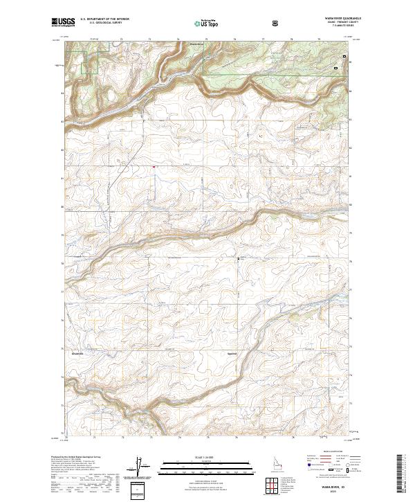
2023 Map of Warm River
USGS Topo · Published 2023About this map
Warm River serves as the focal point of this Fremont County landscape, where the confluence of the Henrys Fork and the Warm River creates a significant hydrological junction. The terrain transition is marked by the presence of the Targhee National Forest and the Warm River CG, signaling a shift from mountain forest to the high-plateau agriculture of eastern Idaho. A complex network of irrigation infrastructure is evident, including the Yellowstone Canal, Marysville Canal, and Farmers Own Canal, which draw from the Fall River to support the surrounding plains.
Find a feature on this map
50 named features on this map. Tap any name to fly to it.
Don’t see what you’re looking for? This feature index may not catch every label — zoom into the map to look around manually.
Map Details
Editions of this 2023 Warm River Map
This is the sole edition of this map. No revisions or reprints were ever made.
Other maps of this area

1955 · Ashton
USGS Topo · 1:250,000

1955 · Driggs
USGS Topo · 1:250,000

1957 · Warm River Butte
USGS Topo · 1:62,500

1958 · Driggs
USGS Topo · 1:250,000

1958 · Ashton
USGS Topo · 1:250,000

1960 · Ashton
USGS Topo · 1:250,000

1962 · Driggs
USGS Topo · 1:250,000

1965 · Lamont
USGS Topo · 1:24,000

1965 · Ashton
USGS Topo · 1:24,000

1965 · Lookout Butte
USGS Topo · 1:24,000