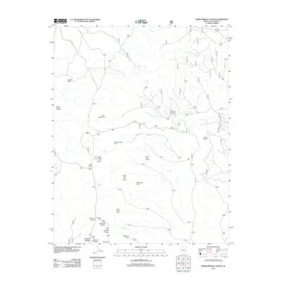
2012 Map of Warm Springs Canyon
USGS Topo · Published 2012About this map
Ryan and the administrative centers at Moquitch Camp and Mangum Camp serve as the primary human touchpoints in this section of the Kaibab Plateau. The landscape is defined by its water management systems and complex drainages, where numerous tanks and springs like Jacob Canyon Tank and Moquitch Spring provide vital resources for forest operations and local ranching. The topographic detail reveals a terrain carved by deep canyons, including the sprawling Moquitch Canyon and Oak Canyon systems, which converge into high-altitude features such as Naile Point and Middle Oak Point.
Find a feature on this map
37 named features on this map. Tap any name to fly to it.
Don’t see what you’re looking for? This feature index may not catch every label — zoom into the map to look around manually.
Map Details
Editions of this 2012 Warm Springs Canyon Map
This is the sole edition of this map. No revisions or reprints were ever made.
Other maps of this area

1886 · Kaibab
USGS Topo · 1:250,000

1936 · Jacobs Lake
USGS Topo · 1:48,000

1940 · Jacob Lake
USGS Topo · 1:62,500

1953 · Jacobs Lake
USGS Topo · 1:62,500

1953 · Grand Canyon
USGS Topo · 1:250,000

1957 · Grand Canyon
USGS Topo · 1:250,000

1957 · Shinarump SE
USGS Topo · 1:24,000
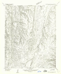
1957 · House Rock Spring SW
USGS Topo · 1:24,000

1957 · Shinarump SW
USGS Topo · 1:24,000
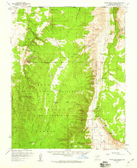
1957 · House Rock Spring
USGS Topo · 1:62,500