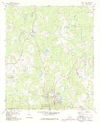
1971 Map of Warm Springs
USGS Topo · Published 1986About this map
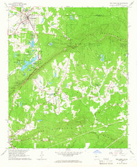
Warm Springs and its surrounding countryside are defined by a mix of significant historical landmarks and rural crossroads during the early 1970s. The area is anchored by the Little White House State Historic Site, home to The Little White House and the Warm Springs Foundation. This landscape reflects the intersection of natural springs and organized healthcare, with the Warm Springs National Fish Hatchery and Meriwether Spring situated nearby.
Find a feature on this map
63 named features on this map. Tap any name to fly to it.
Don’t see what you’re looking for? This feature index may not catch every label — zoom into the map to look around manually.
Map Details
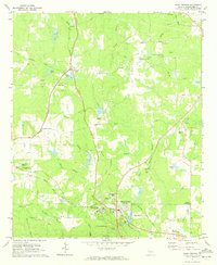
Editions of this 1971 Warm Springs Map
2 editions found
Other maps of this area

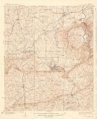
1907 · Talbotton
USGS Topo · 1:125,000
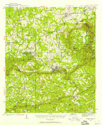
1934 · Warm Springs
USGS Topo · 1:62,500
1936 · Warm Springs
USGS Topo · 1:62,500

1953 · Atlanta
USGS Topo · 1:250,000

1955 · Phenix City
USGS Topo · 1:250,000

1957 · Phenix City
USGS Topo · 1:250,000

1957 · Atlanta
USGS Topo · 1:250,000

1958 · Phenix City
USGS Topo · 1:250,000

1958 · Atlanta
USGS Topo · 1:250,000
1964 · Pine Mountain
USGS Topo · 1:24,000