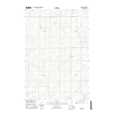
2016 Map of Warman
USGS Topo · Published 2016About this map
The small settlements of Warman and Woodland anchor this Kanabec County landscape, which is defined by an intricate network of wetlands and watercourses. The local hydrology is exceptionally detailed, featuring the Knife River and Snake River in the southern reaches, along with Snowshoe Lake and Knife Lake. Man-made water management is evident at Bachman Dam and the nearby Forshier Pool, illustrating how the community has historically interacted with its boggy environment.
Find a feature on this map
43 named features on this map. Tap any name to fly to it.
Don’t see what you’re looking for? This feature index may not catch every label — zoom into the map to look around manually.
Map Details
Editions of this 2016 Warman Map
This is the sole edition of this map. No revisions or reprints were ever made.
Other maps of this area

1953 · Duluth
USGS Topo · 1:250,000

1953 · Stillwater
USGS Topo · 1:250,000

1955 · Stillwater
USGS Topo · 1:250,000

1958 · Stillwater
USGS Topo · 1:250,000

1958 · Duluth
USGS Topo · 1:250,000

1961 · Brook Park
USGS Topo · 1:62,500

1965 · Stillwater
USGS Topo · 1:250,000

1968 · Ann Lake
USGS Topo · 1:24,000

1968 · Kroschel NW
USGS Topo · 1:24,000

1968 · Isle SW
USGS Topo · 1:24,000