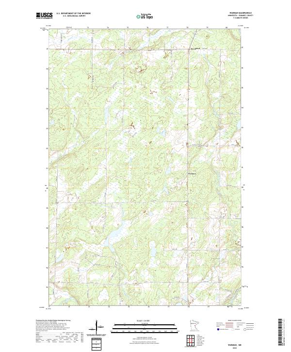
2022 Map of Warman
USGS Topo · Published 2022About this map
Woodland and Warman serve as the primary human touchpoints in this section of Kanabec County, characterized by a complex network of wetlands and small watercourses. The drainage patterns are defined by several notable streams, including Hay Cr in the north and the winding Snowshoe Brook which flows toward the southeastern corner. Further south, the Knife River and Bean Brook move through the low-lying terrain, while the Snake River and a Snake River Trib cut across the bottom edge of the quadrangle.
Find a feature on this map
40 named features on this map. Tap any name to fly to it.
Don’t see what you’re looking for? This feature index may not catch every label — zoom into the map to look around manually.
Map Details
Editions of this 2022 Warman Map
This is the sole edition of this map. No revisions or reprints were ever made.
Other maps of this area

1953 · Duluth
USGS Topo · 1:250,000

1953 · Stillwater
USGS Topo · 1:250,000

1955 · Stillwater
USGS Topo · 1:250,000

1958 · Stillwater
USGS Topo · 1:250,000

1958 · Duluth
USGS Topo · 1:250,000

1961 · Brook Park
USGS Topo · 1:62,500

1965 · Stillwater
USGS Topo · 1:250,000

1968 · Ann Lake
USGS Topo · 1:24,000

1968 · Kroschel NW
USGS Topo · 1:24,000

1968 · Isle SW
USGS Topo · 1:24,000