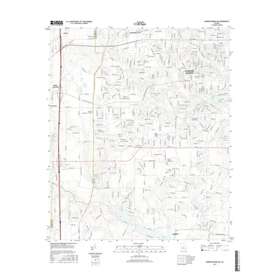
2017 Map of Warner Robins SW
USGS Topo · Published 2017About this map
The suburban and rural interface of Middle Georgia is documented here at a time of continued expansion between Centerville and Perry. The landscape is defined by its transition from the more densely settled corridors of Warner Robins, featuring the Warner Robins Air Park and Central Georgia Technical Coll, to the open lands and residential developments further south and west. Local history is anchored by several family and community landmarks, including the Centerville Cem, Leverett Family Cem, and Beulah Church.
Find a feature on this map
230 named features on this map. Tap any name to fly to it.
Don’t see what you’re looking for? This feature index may not catch every label — zoom into the map to look around manually.
Map Details
Editions of this 2017 Warner Robins SW Map
This is the sole edition of this map. No revisions or reprints were ever made.
Other maps of this area

1956 · Fort Valley
USGS Topo · 1:62,500

1956 · Perry
USGS Topo · 1:62,500

1956 · Warner Robins
USGS Topo · 1:62,500

1957 · Macon
USGS Topo · 1:250,000

1958 · Macon
USGS Topo · 1:250,000

1964 · Macon
USGS Topo · 1:250,000

1972 · Perry West
USGS Topo · 1:24,000

1973 · Hayneville
USGS Topo · 1:24,000

1973 · Warner Robins NE
USGS Topo · 1:24,000
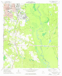
1973 · Warner Robins SE
USGS Topo · 1:24,000