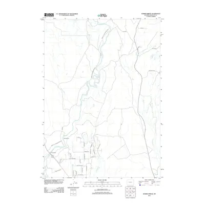
2012 Map of Warren Bridge
USGS Topo · Published 2012About this map
The Green River carves a winding path through this corner of Sublette County, defining the local geography as it flows toward the Warren Bridge crossing. The landscape is characterized by its hydrologic network, where Spring Cr and Marsh Cr converge with the river system near a notable constriction in the terrain known as The Narrows. To the east, the New Fork River runs parallel to the regional road network, including the route toward New Fork Lake Rd.
Find a feature on this map
33 named features on this map. Tap any name to fly to it.
Don’t see what you’re looking for? This feature index may not catch every label — zoom into the map to look around manually.
Map Details
Editions of this 2012 Warren Bridge Map
This is the sole edition of this map. No revisions or reprints were ever made.
Other maps of this area

1907 · Gros Ventre
USGS Topo · 1:125,000

1909 · Fremont Peak
USGS Topo · 1:125,000

1910 · Gros Ventre
USGS Topo · 1:125,000

1939 · Big Piney
USGS Topo · 1:125,000

1942 · Big Piney
USGS Topo · 1:125,000

1955 · Driggs
USGS Topo · 1:250,000

1955 · Preston
USGS Topo · 1:250,000

1955 · Thermopolis
USGS Topo · 1:250,000

1955 · Lander
USGS Topo · 1:250,000

1958 · Driggs
USGS Topo · 1:250,000